
Cartography
Geographic information systems (GIS) bring together a set of knowledge from different scientific areas, through the collection and organization of georeferenced data.

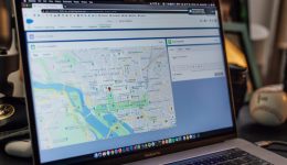
Geographic information systems (GIS) bring together a set of knowledge from different scientific areas, through the collection and organization of georeferenced data.

We have an experienced team specializing in forest surveys and forest inventories, equipped with equipment such as centimeter-precision GPS, calipers, hypsometers, and distance meters. We prepare tree felling requests, planting plans, and maintenance and monitoring plans.
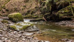
Implementation of Water Framework Directive (WFD) protocols for the biological elements ichthyofauna, phytobenthos, macroinvertebrates, macrophytes and phytoplankton.
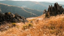
We prepare various environmental studies, as well as baseline and constraint studies, and support post-EIA processes (monitoring) for various project types.

The technical expertise of our team allows us to carry out environmental construction monitoring, from the planning stage through to implementation and on-site supervision.


