
Monitoring of flora, vegetation and habitats
We have a team of flora and vegetation experts in Portugal and sub-Saharan Africa, supported by a cartography team. We apply the most appropriate methodologies, including the square method, transects, exhaustive species prospecting, mapping of vegetation units, biotopes, habitats of community interest, and land use. We use tools such as drones and centimeter-precise GPS.
We have experience in collecting seeds of endangered species, sowing them and translocating them, which allows us to obtain the necessary licenses for this type of work from the ICNF.
Our services include:
- Survey and mapping of flora species;
- Identification and mapping of vegetation, biotopes, habitats and land use occupation;
- Prospecting for RELAPE species;
- Plans for the control and eradication of invasive alien species;
- Monitoring vegetation recovery;
- Preparation of monitoring plans;
- Preparation of impact assessment and monitoring reports;
- Planning of minimization and compensation measures for flora and vegetation (e.g. translocation, seeding, management of areas to be preserved, etc.).
Projetos Relacionados
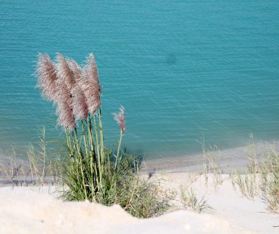
Exotic Species Eradication and Control Plan at a Mine in Rio Maior
Identification and exhaustive mapping of the presence of invasive alien species and adoption of measures to control them.
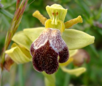
Flora and Habitat Monitoring in the Fátima Quarry
Monitoring of habitats of community interest, Arabis sadina and orchid translocation.


